
Drone Mapping Services in Kissimmee & Central Florida
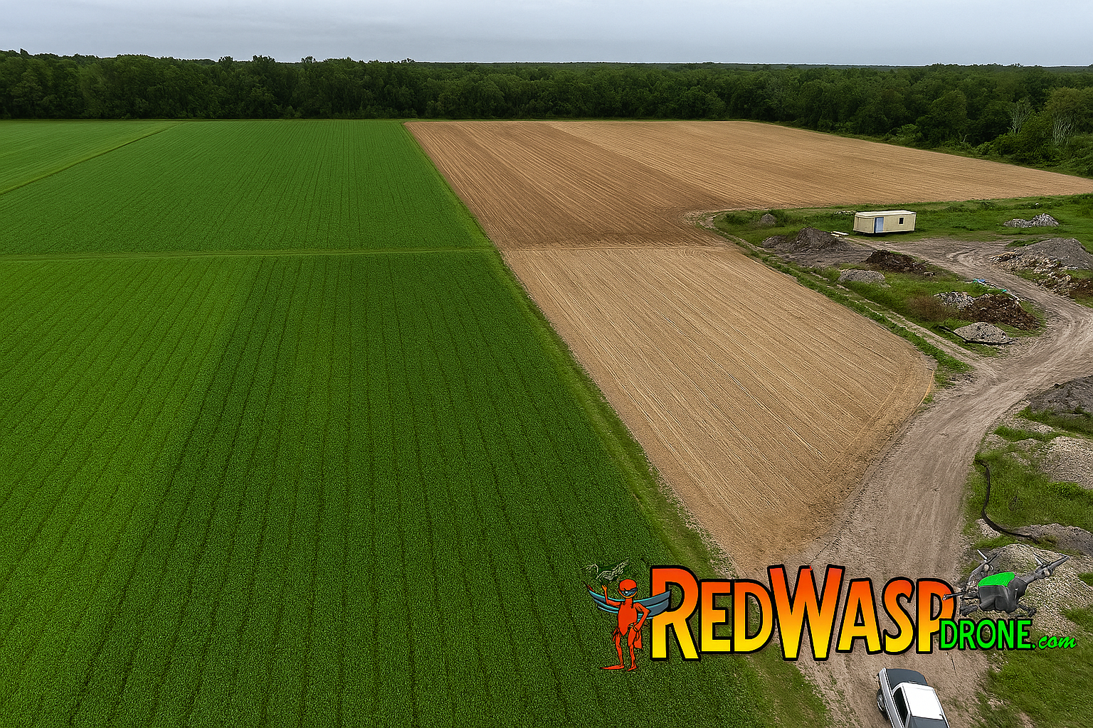
Unlock precision and efficiency with Red Wasp Drone’s advanced drone mapping services, available in Kissimmee, Orlando, St. Cloud, and Celebration. Our FAA-certified pilots use high-resolution aerial imaging and GPS-enabled drones to deliver accurate topographic maps, 3D models, and orthomosaic data for your project.
🚁 What We Offer:
- Topographic & Site Mapping
- Orthomosaic Imagery
- 3D Terrain Modeling
- Construction Progress Tracking
- Land Survey Support
Whether you’re a developer, engineer, or contractor, our drone mapping solutions help you visualize, measure, and plan with confidence.
📞 Contact Us Today
Get a custom quote for your mapping needs. We deliver fast turnaround, high accuracy, and full compliance with FAA regulations.

drone mapping, orthomosaic imagery, 3D terrain modeling, Kissimmee drone services, FAA certified drone, construction mapping, aerial survey, site mapping
Hashtags:
#DroneMapping #KissimmeeDrone #Orthomosaic #3DTerrain #ConstructionMapping #FAACertified #SiteSurvey #RedWaspDrone #MappingServices #AerialMappin