

Start your next Orlando development project with perfect topographical data
#LandDevelopment, #Architecture, #DroneMapping, #OrlandoBuilders, #PreConstruction
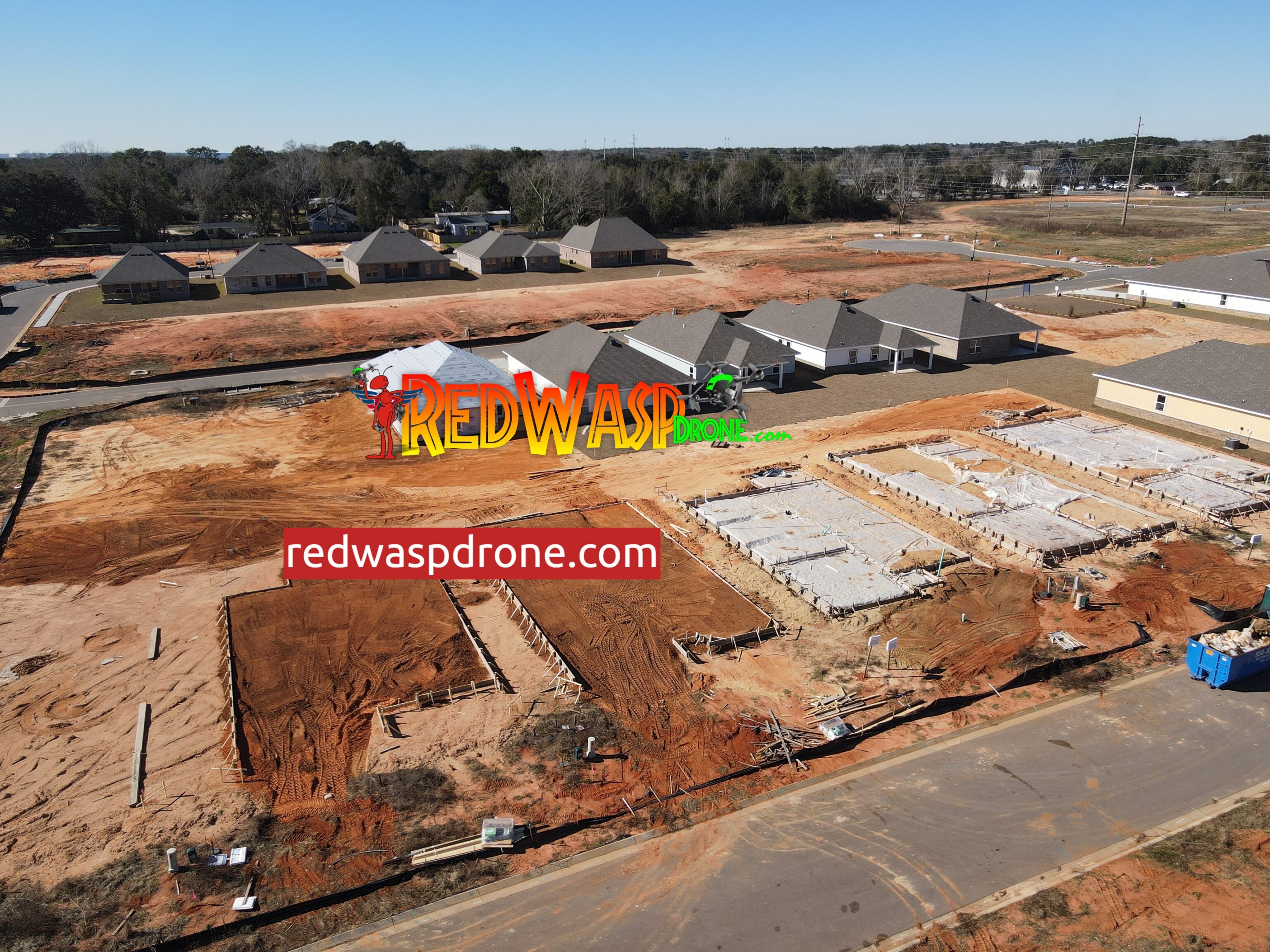
Before the first shovel hits the dirt, accurate site planning is critical. Red Wasp Drone utilizes advanced DroneDeploy software to create high-definition orthomosaic maps of raw land. Our Ground Certified Drone Deploy expertise ensures that topographic changes, water runoff paths, and existing structures are perfectly documented. This data integrates directly into CAD software, allowing architects and developers to plan with absolute precision and avoid costly early-stage mistakes
- Meta Description: Get accurate pre-construction topographic data with Red Wasp Drone’s advanced mapping services in Central Florida. Start your project right.
- Keywords: pre-construction drone mapping, topographical map Orlando, land development drone Florida, orthomosaic mapping Kissimmee, CAD integration drone,
- Hashtags: #LandDevelopment, #Architecture, #DroneMapping, #OrlandoBuilders, #PreConstruction
Elevate your commercial listing. Email: [email protected] | Text first to verify you are a human: 7862771213
Discover more from Red Wasp Drone
Subscribe to get the latest posts sent to your email.
Comments are closed