
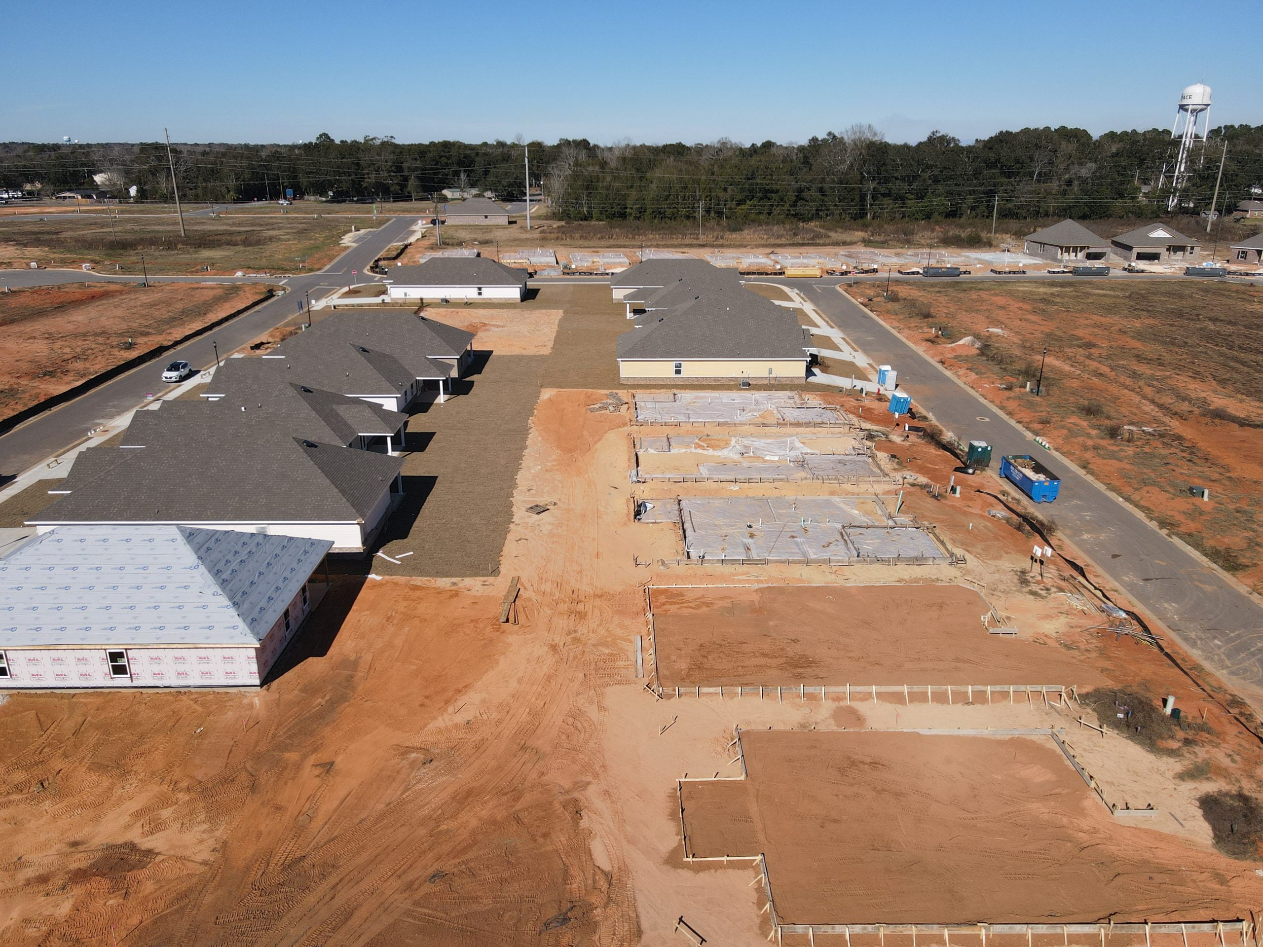
Mapping with drone
Drone mapping, aerial mapping, photogrammetry, data collection, high accuracy, cost efficiency, real-time analysis, construction, agriculture,[…]
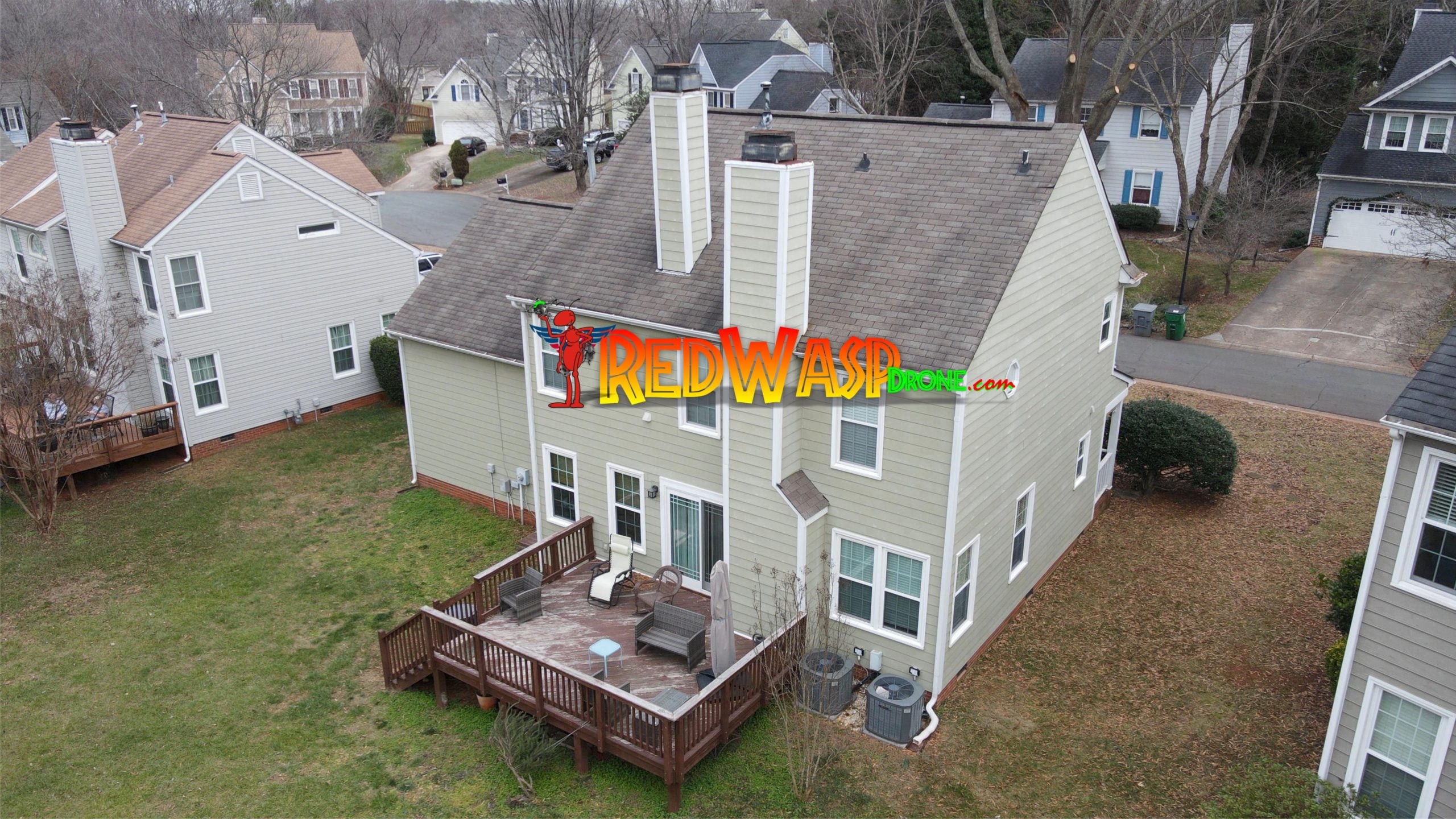
Now in Pensacola RedWasp Drone Services
Drone Service, Drone Mapping, Drone Photography, Roof Inspections, Real Estate Aerial Photography, Drone Video, Aerial[…]
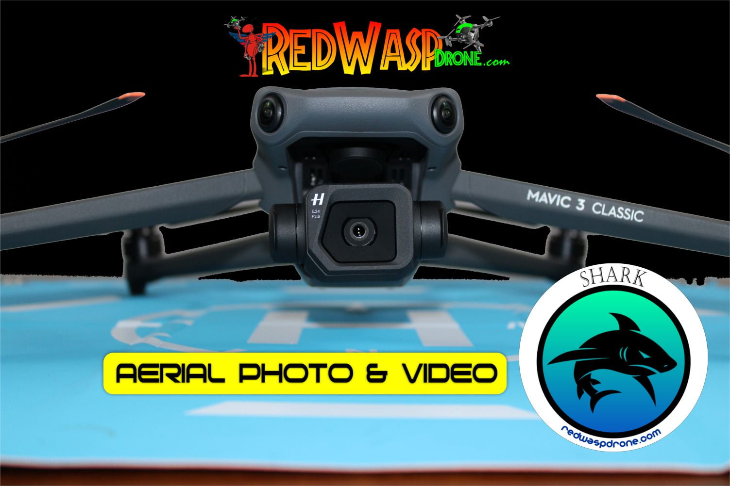
Shark
Drone Service, Drone Video, Drone Mapping, Drone Photography, Drone 4K Video Services, Drone Service in[…]
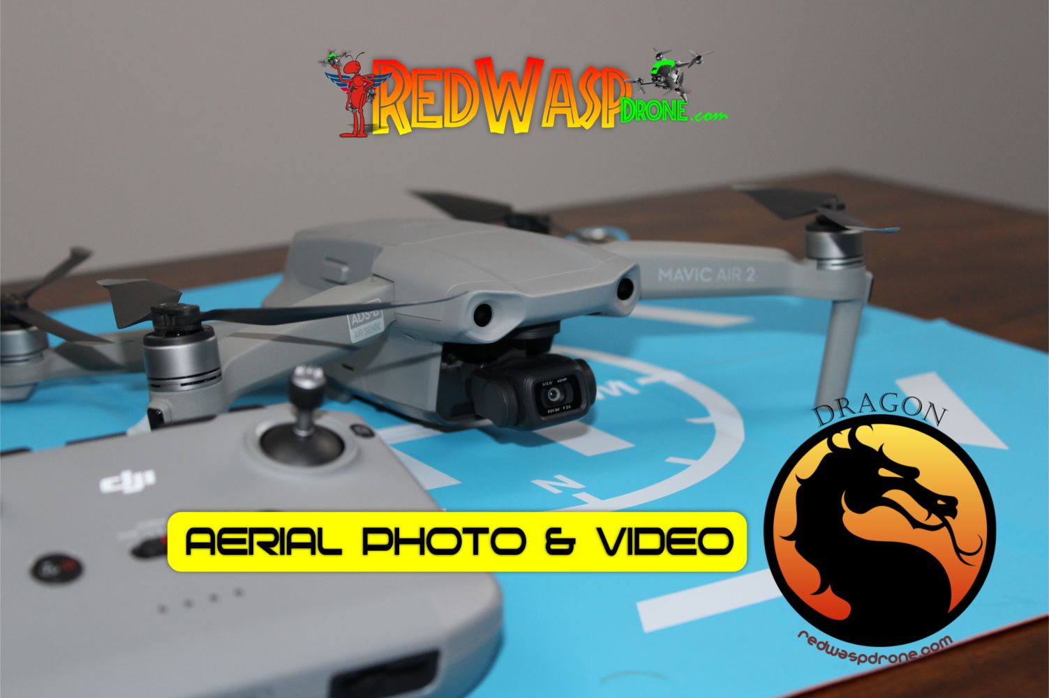
Dragon
Drone Service, Drone Video, Drone Mapping, Drone Photography, Drone 4K Video Services, Drone Service in[…]
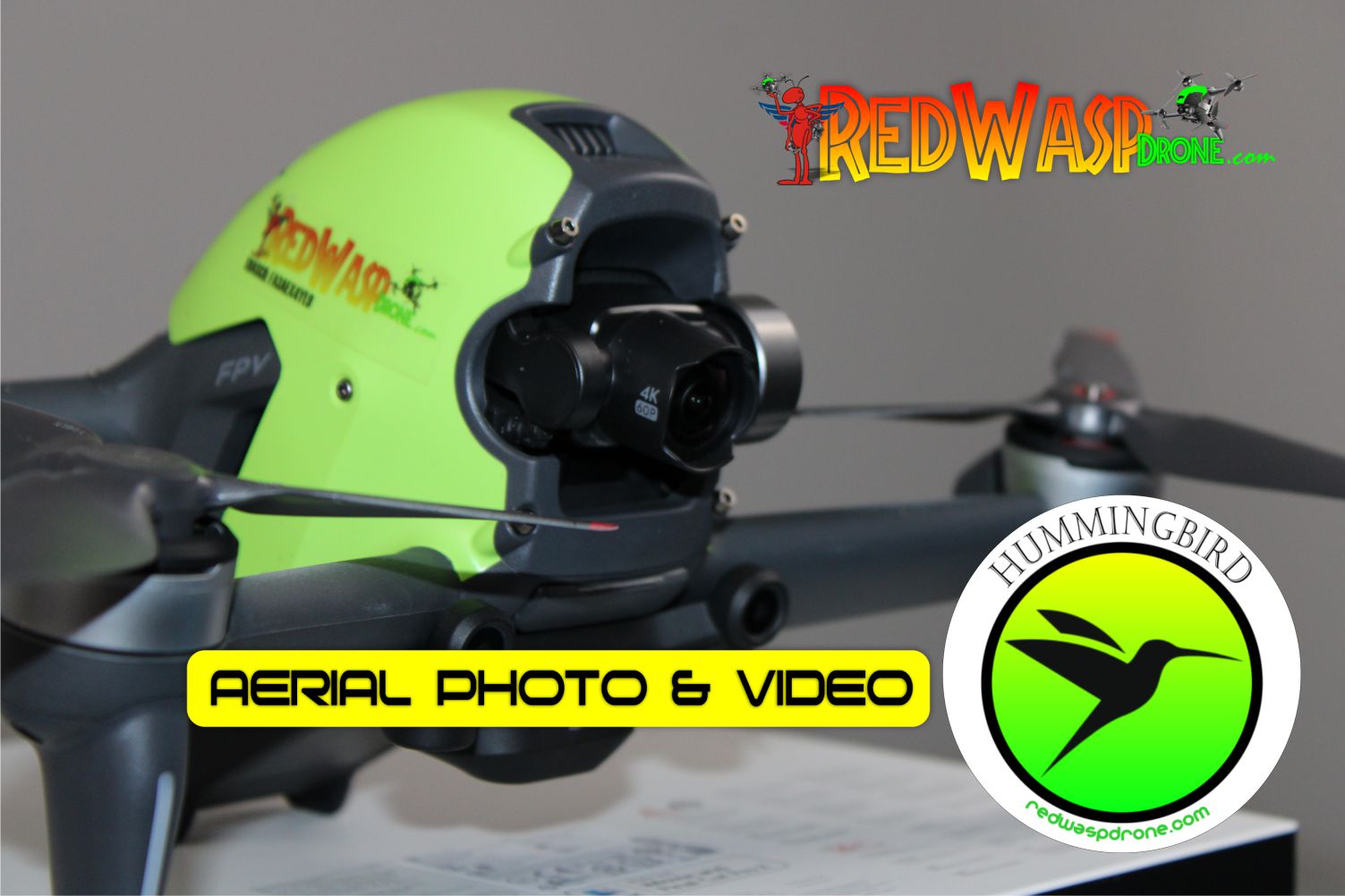
Hummingbird
RedWasp Drone Aerophotography Professional Equipment
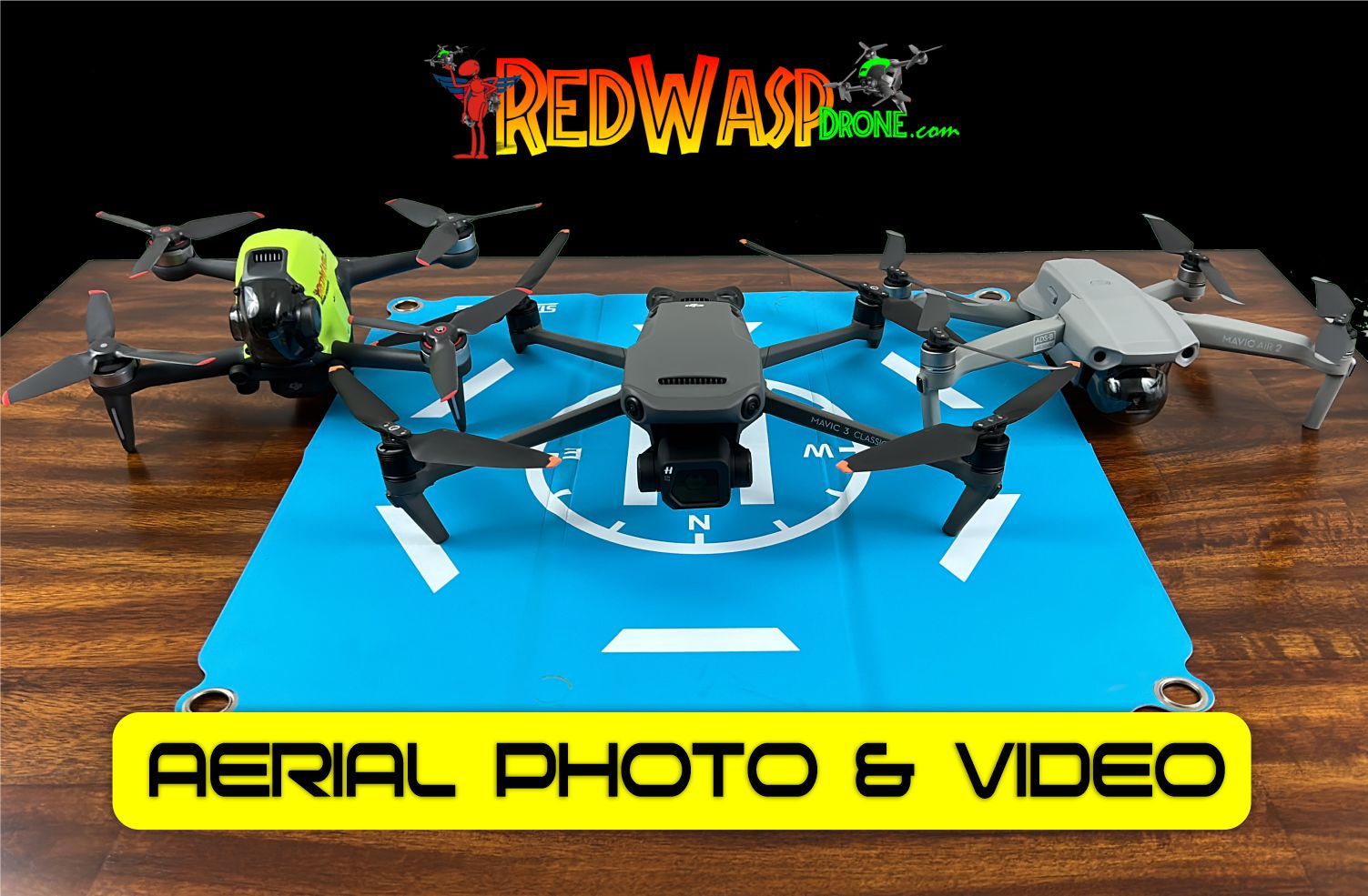
RedWasp Drone Fleet
RedWasp Drone, Drone Video, Drone Mapping, Drone Photography, Drone 4k Video Services, Drone Service in[…]